Activities
The major activities of the Bangladesh Navy Hydrographic Department are as follows:
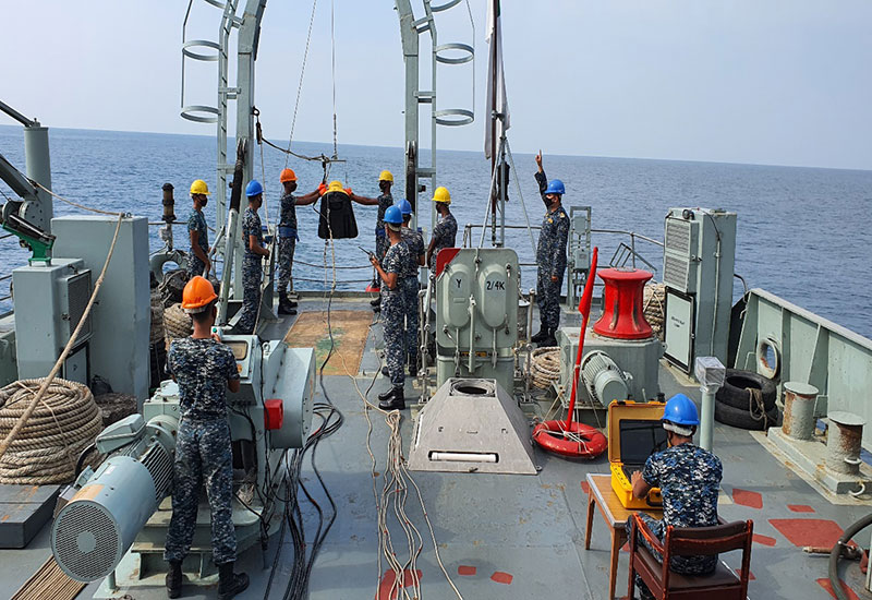
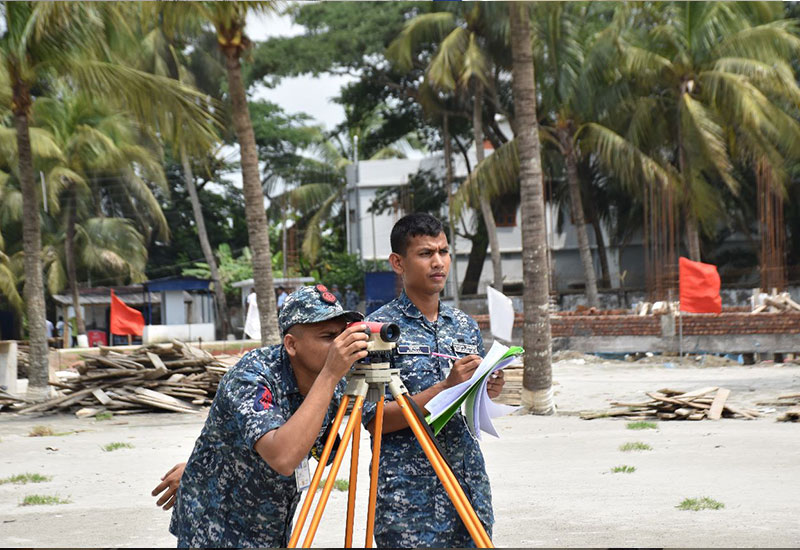
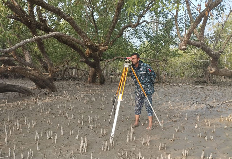
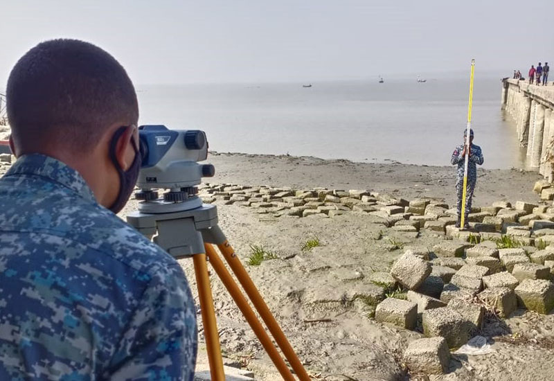
- Conduct IHO Standard hydrographic survey in Bangladesh's coastal and maritime areas to ensure safe navigation
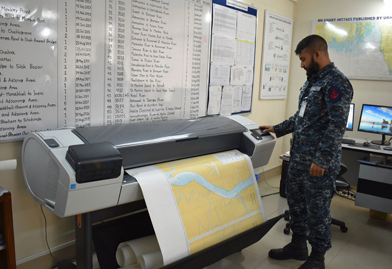
- Produce and distribute international standard nautical charts and Electronic Navigational Charts (ENC) of Bangladesh water area following the guidance of the International Hydrographic Organization (IHO).
- Conduct Pre and post-dredging surveys and provide necessary and relevant hydrographic information for port and marine infrastructure development at Bangladesh coastal and sea area.
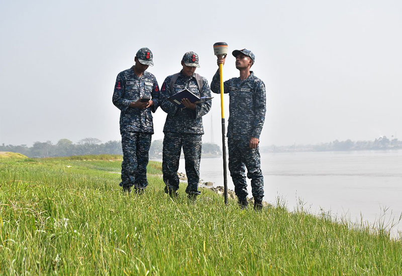
- Conduct hydrographic and topographic surveys for the demarcation of new islands in Bangladesh's coastal area.
- Record and analyze tidal data and generate tidal prediction Bangladesh coast.
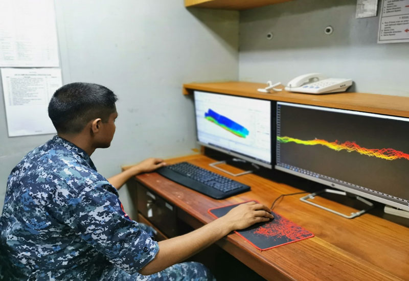
- Collect, analyze and store oceanographic data to support military operations and environment research and development.
- Collect and store meteorological data and generate marine weather forecasts for Bangladesh Navy fleet operations.
- Conduct wreck and underwater obstructions search and detection for the safety of navigation in Bangladesh water area.
- Produces fishing vessel charts highlighting fishing zones and different marine reserves/protected areas of Bangladesh water area.
- Publish relevant nautical publications for the mariners navigating in Bangladesh's coastal and maritime areas.
- Support National Blue Economy Initiatives by providing necessary hydrographic and oceanographic data.
- Support Bangladesh Navy fleet operations by providing necessary hydrographic and oceanographic data.
- Support relevant authority to issue Notices to Mariners and Navigational Warnings to Seafarers.
- Support different maritime stakeholders in the aspect of training and capacity building.
- Support and facilitate data collection of other maritime, research organizations and different universities.
- Assist in Coastal Zone Management (CZM) and Marine Environmental Protection of Bangladesh's coastal and maritime area.
- Assist Underwater Search and Rescue (SAR) operations.
Products
Bangladesh Navy Hydrographic Department offers products to the marine community in the form of nautical charts (paper and digital) publications. So far, the department has published 55 paper charts including 09 in number of International (INT) series charts which are authorized by IHO of all the major sea ports, rivers and Exclusive Economic Zone (EEZ) areas of Bangladesh. In the digital format, the department has produced 17 ENCs including 11 ENCs for the aforementioned International (INT) series charts. Moreover, the department has produced 02 in-number fishing chart (both paper and digital format) covering Bangladesh's maritime area. Furthermore, the department also produces a Catalogue of Charts and Publications (HP 001) and Bangladesh Navy Tide Tables (HP 002).
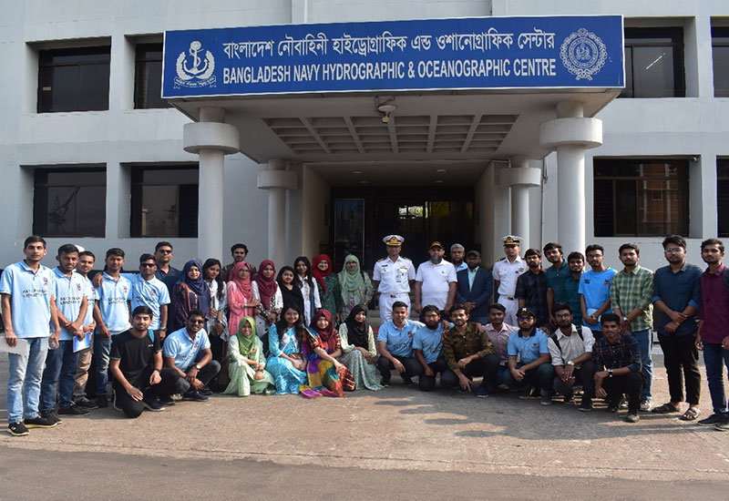
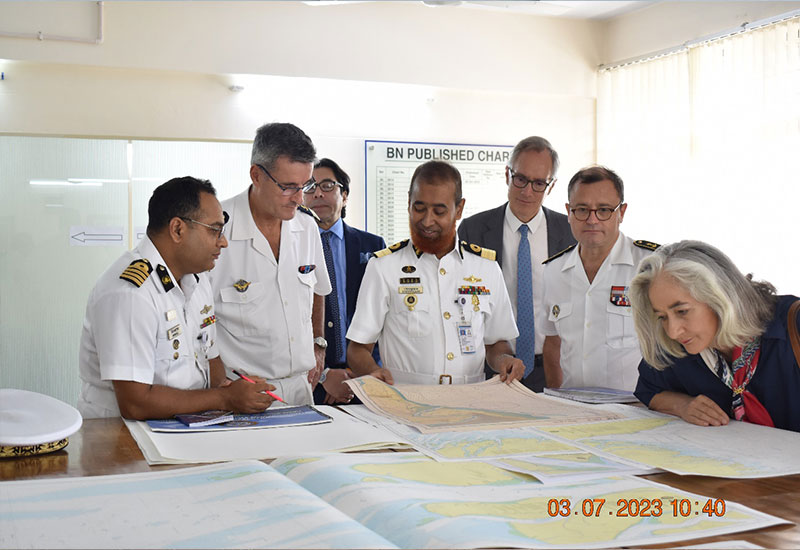
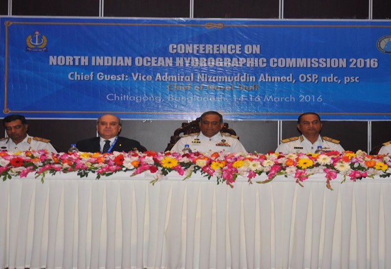
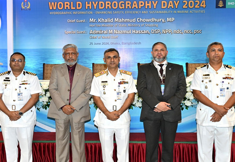
Hydrography Gallery